This is the best summary I could come up with:
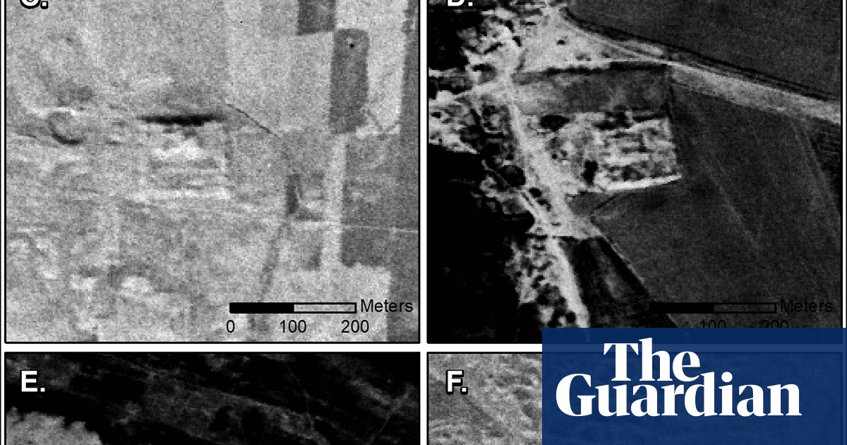
Declassified cold-war spy satellite images have thrown new light on the workings of the Roman empire by revealing hundreds of previously undiscovered forts, with dramatic implications for our understanding, experts have said.
A previous survey of the region in 1934 by Antoine Poidebard, a French Jesuit explorer who pioneered aerial archeology in the Middle East from his bi-plane, recorded a line of 116 forts.
Until now, historians assumed these forts were part of a defensive line built to protect the eastern province of the empire from Arab and Persian incursions, and from nomadic marauding tribes intent on captive-taking and slave-raiding.
“Since the 1930s, historians and archeologists have debated the strategic or political purpose of this system of fortifications,” said the lead author of the research, Prof Jesse Casana, of Dartmouth college in New Hampshire, US.
The 396 new sites, hidden by modern-day development, are widely distributed across the region from east to west, which does not support the argument that the forts constituted a north-south border wall.
Researchers now hypothesise that the forts were constructed to support cross-border trade, protecting caravans travelling between the eastern provinces and the non-Roman territories, as well as facilitating communications between east and west.
The original article contains 528 words, the summary contains 199 words. Saved 62%. I’m a bot and I’m open source!


